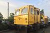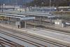


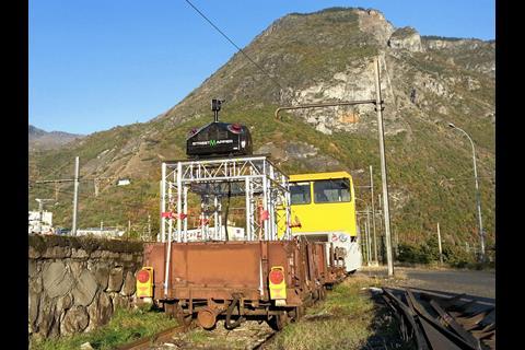
FRANCE: A StreetMapper mobile laser scanning system has been used to produce detailed three-dimensional maps of several hundred kilometres of the French rail network to support studies for modernisation and electrification works.
The StreetMapper was developed by 3D Laser Mapping and IGI, and is operated by FIT ESIC. The companies worked with SNCF engineers to enable the LiDAR equipment to be installed within the loading gauge and to cope with vibrations as it moves.
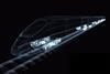
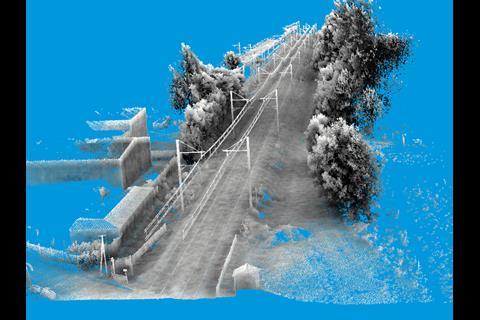
The vehicle-mounted lasers have a 360° field of view, 800 m range and a capacity of 550 000 measurements/sec per sensor with an absolute accuracy of better than 10 mm. Millions of individual measurements are combined to produce a computer model of the track and surroundings which includes trackside structures and electrification equipment including contact wire stagger.