
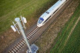


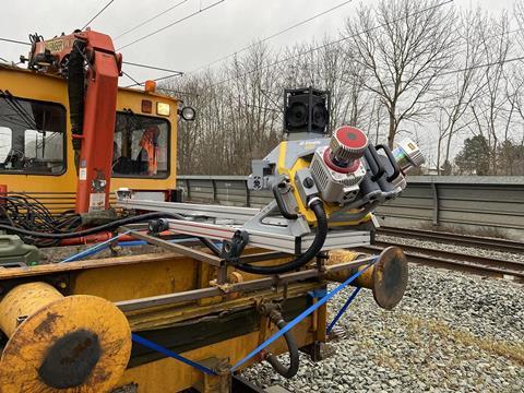
GERMANY: Deutsche Bahn has approved the use of Trimble’s MX9 mobile mapping system for surveying track, clearances and infrastructure.
The MX9 hardware can be mounted on a vehicle to rapidly capture panoramic and multi-angle laser scans and images at speed up to 100 km/h, avoiding the need for line closures and trackside working. This is combined with ‘intuitive’ field software and a ‘powerful, integrated’ back office software to provide ‘field-to-finish’ mobile mapping.
‘Intensive testing by DB Netz, in close cooperation with our German partner Allterra, has resulted in the acceptance by DB Netz of our solution as the only mobile mapping system to be used on DB Netz’s extensive rail network’, said Trimble MX9 key account manager Ronald van Coevorden. ‘That is a testament to the quality of the system and our ability to provide dedicated, local service.’