


All Changsha articles
-
 Country profile
Changsha - city map
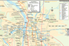
Changsha, with Xiangtan and Zhuzhou, Hunan, China: urban area rail network map
-
Organisations
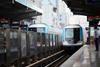
Changsha Metro Group (CSM)
Opened 2014. China’s 21st metro. Six-line network serving 140 stations. See Changsha network map. Work on Lines 1 and 2 began in 2011. The first phase of west-east Line 2 opened on April 29 2014 from Wangchengpo to Guangda (22 km, 19 stations); a western extension to West Meixi Lake ...
-
Organisations
Hunan Maglev Transport Co
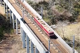
Opened 2016; single maglev route with 3 stops. See Changsha network map. Construction work began on this medium-speed maglev line connecting Huanghua Airport with metro and mainline rail services at Changsha Nan station in May 2014. Test running with three-unit vehicles began in December 2015 with partial opening on April ...
-
 News
NewsMetro projects underway in Changsha, Xi'an, Wuhan and Xiamen
CHINA: Work on the first phase of Changsha metro lines 3 and 4 is expected to get underway by the end of the year. The southwest-northeast Line 3 would be 33·4 km long with 24 stations and Line 4 would run northwest-southeast for 29·1 km with 21 ...