UK: Indoor wayfinding company Briteyellow has created augmented reality maps of six of the largest stations served by Transport for Wales, to help passengers locate facilities such as information screens, lifts, toilets, help points and waiting rooms.
It is hoped the AR maps can be used to assist passengers who may be nervous about travelling, such as those visiting a station for the first time or people with mobility issues.
‘These maps will enable customers to plan their journey through the station prior to their visit’, said TfW Insights & Innovation Manager Michael Davies.
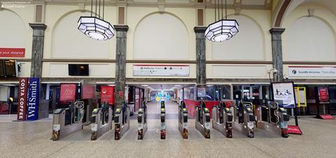
The first six maps cover Cardiff Central, Cardiff Queen Street, Newport, Chester, Shrewsbury and Pontypridd.
Briteyellow was part of the first group to take part in the Lab by TfW innovation accelerator programme, and received funding under the Department for Transport’s Accessibility Transport Research & Innovation Grants Programme. It is currently testing its BriteWay-XR app designed to improve communication about station facilities and availability.